


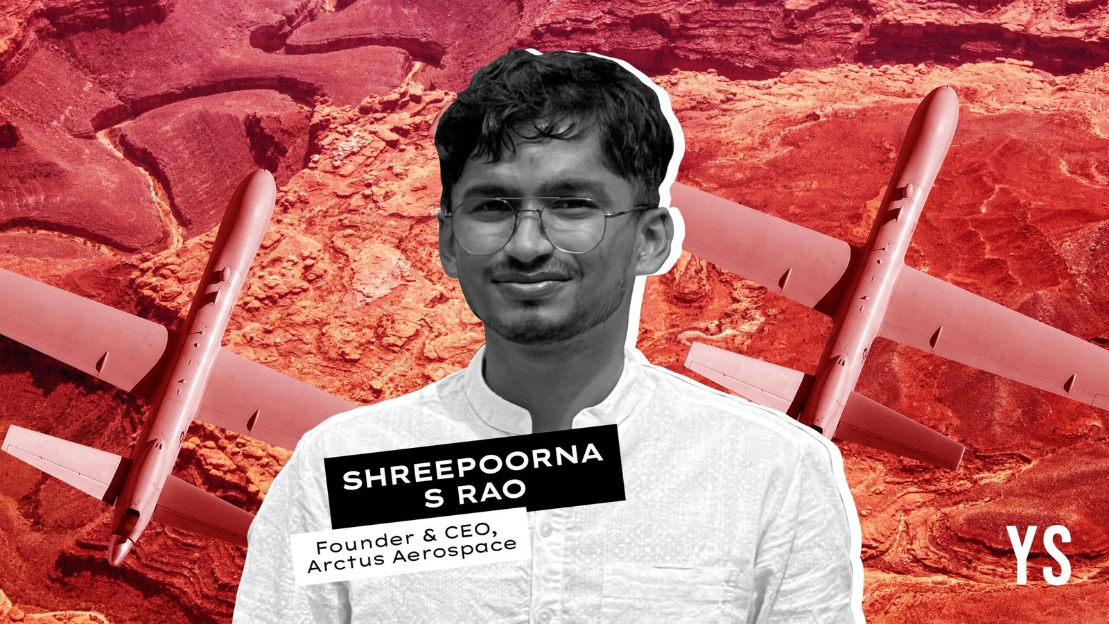
Arctus Aerospace is building unmanned aircraft for real-time Earth intelligence

But for sectors like oil and gas, shipping, agriculture, and insurance, waiting for days means undetected leaks, delayed responses, or gaps in risk assessments.
What if these industries could monitor assets in near real time, with aerial intelligence sharp enough to read a number plate or track the movement of a valve along a refinery line?
That is the gap Bengaluru-based Arctus Aerospace aims to fill. Founded by aerospace engineer Shreepurna Rao in 2024, the startup is developing a new class of high-altitude, long-endurance unmanned aircraft designed to stay airborne for up to 24 hours while delivering continuous, high-resolution data.
Rao’s journey into aviation began early. He started building remote-controlled aircraft in seventh grade, spending years flying model planes and teaching himself the mechanics of flight. The passion took him to IIT Madras, where he led the institute’s aerial robotics club, worked on multiple projects, and logged nearly 2,000 flight hours. Along the way, he also tried his hand at entrepreneurship, building and exiting a small tech venture while still in college.
In 2024, while completing his course, Rao spent months researching gaps in defence and commercial surveillance. He noticed that India and many other countries were investing heavily in expensive, high-end aircraft systems, yet no commercial solution existed that could provide daily, actionable insights from the sky.
“So, we built the whole thing from scratch,” Rao explains. Today, Arctus Aerospace is building autonomous aircraft that fly at high altitude, for long durations, and deliver data that customers can use instantly.
The problem Arctus solves
The idea for Arctus Aerospace crystallised around a simple but persistent insight. “There was a huge mismatch between what customers needed and what the market was offering,” Rao says.
“Satellites refresh every few days. Drones stay up for 15-20 minutes. We’re building aircraft that can fly for 24 hours and deliver the kind of data people actually want.”
What makes Arctus different isn’t just hardware. The startup focuses on the entire data chain, which includes the aircraft, sensors, software, and analytics. Its flagship platform, which is in development, is an unmanned aircraft with an 18-metre wingspan, weighing around 1.2 tonnes, and has the ability to carry 250 kg of payload.
These aircraft are designed to reach altitudes close to 45,000 feet and remain in the air for 24 hours, far outpacing typical drones. A smaller 8-metre version is already flying and being tested in pilot projects.
Arctus builds in-house at it’s manufacturing facility in Bengalauru, from the structure to the avionics and autonomy software, except for the engines. It has developed its entire autonomy stack, which allows the aircraft to fly missions with minimal human control.
Also it’s working with regulators, including the DGCA, as part of the approval process for its high-altitude aircraft.
“The autonomy is fully reinforcement learning-based,” Rao says. “We have 100+ flight hours on our autonomy stack.”
With optical, infrared, and other sensors, the aircraft can capture very clear details from the sky, showing movements, objects, and changes on the ground. Whether it’s a refinery, a ship, or farmland, Arctus aims to give frequent, useful, and actionable data.
.thumbnailWrapper{
width:6.62rem !important;
}
.alsoReadTitleImage{
min-width: 81px !important;
min-height: 81px !important;
}
.alsoReadMainTitleText{
font-size: 14px !important;
line-height: 20px !important;
}
.alsoReadHeadText{
font-size: 24px !important;
line-height: 20px !important;
}
}

Solving real problems for real industries
Arctus targets B2B sectors that need persistent, high-resolution insights.
Insurance companies can use Arctus aircraft in pilot programmes to monitor land changes over time. This helps insurers better understand risk, set premiums, and predict losses.
In agriculture, long-duration data feeds are being tested to help forecast droughts, monitor crop health, and support yield predictions.
The startup has begun three pilot projects and signed 15 executable contracts with clients across oil and gas, shipping, mapping, agriculture, and insurance. These pilots give them live data from real assets, helping refine their technology and pricing models.
Arctus currently has a 15-member team, largely drawn from IIT Madras, and raised a pre-seed round in November 2025 led by US-based investors.
.thumbnailWrapper{
width:6.62rem !important;
}
.alsoReadTitleImage{
min-width: 81px !important;
min-height: 81px !important;
}
.alsoReadMainTitleText{
font-size: 14px !important;
line-height: 20px !important;
}
.alsoReadHeadText{
font-size: 24px !important;
line-height: 20px !important;
}
}

Finding the right path to market
Arctus hasn’t started full commercial operations yet. The startup is still in the R&D stage, refining its aircraft, autonomy platform, and sensor packages. It’s working towards the required aviation approvals with 4 aircraft, and expects its first full commercial deployments in about a year, once the aircraft reaches production-ready maturity.
“Rather than building a bespoke military system, which is a custom-built product for one specific military client, we are focused on a commercially viable product,” Rao says.
Arctus Aerospace operates on a SaaS-style revenue model, positioning itself as a data-as-a-service provider.
Customers subscribe based on how frequently they require aerial coverage, the type of intelligence they need, and the size of the area being monitored. Rao says the goal is straightforward: to undercut satellite imagery players.
“We sell data at an 80% discount compared to satellite players. Our cost structure is about 1% of theirs,” he says.
Arctus estimates its operational costs at around Rs 10 per sq km, and plans to price its data at about $5 per sq km–far below the $50 per sq km that satellite data providers typically charge.
Competition and the road ahead
Rao says the company sits “between satellites and drones, offering long-endurance aircraft that give clearer, faster data”.
Satellite companies are its main competitors, but he believes Arctus stands out because it builds its own aircraft and autonomy systems, which offer better resolution and longer flight time than any drone or satellite service today.
The biggest challenge was that no one in India builds high-altitude aircraft, so the team had to learn everything from scratch. “With no talent to hire and thousands of complex parts to build and integrate, making the aircraft fly safely and reliably became a tough, ground-up effort,” Rao tells YourStory.
Arctus is now building its product pipeline, which includes advanced sensor modules, improved autonomy, integration of synthetic aperture radar (SAR) and hyperspectral imaging, and ground station software to make data delivery seamless.
According to the Allied Market Research report, the satellite data services market reports peg the global market size in the low‑ to mid‑teens of billions of dollars in 2024–2025, with forecasts typically reaching $70 billion by mid‑2030s depending on methodology. “Even capturing around 10% of this market would be a big opportunity for us.” Rao tells YourStory.
“We want to give customers not just pictures, but actionable insights,” Rao says. “That is our long-term vision.”
Discover more from News Link360
Subscribe to get the latest posts sent to your email.